LOW LOGISTICS
OVERVIEW
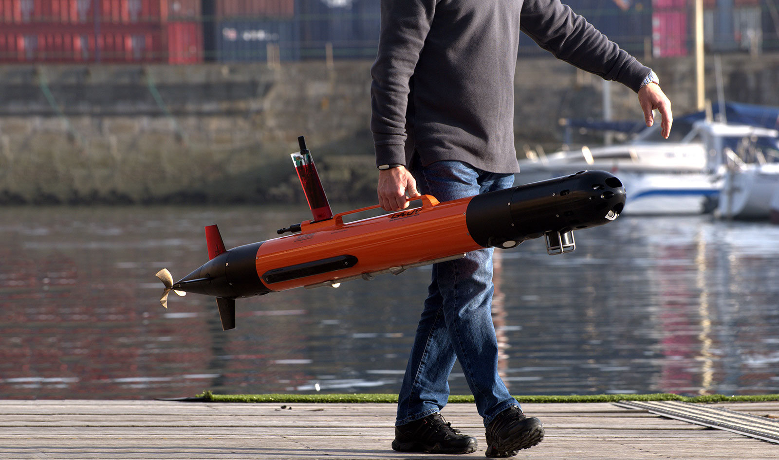
Based on the
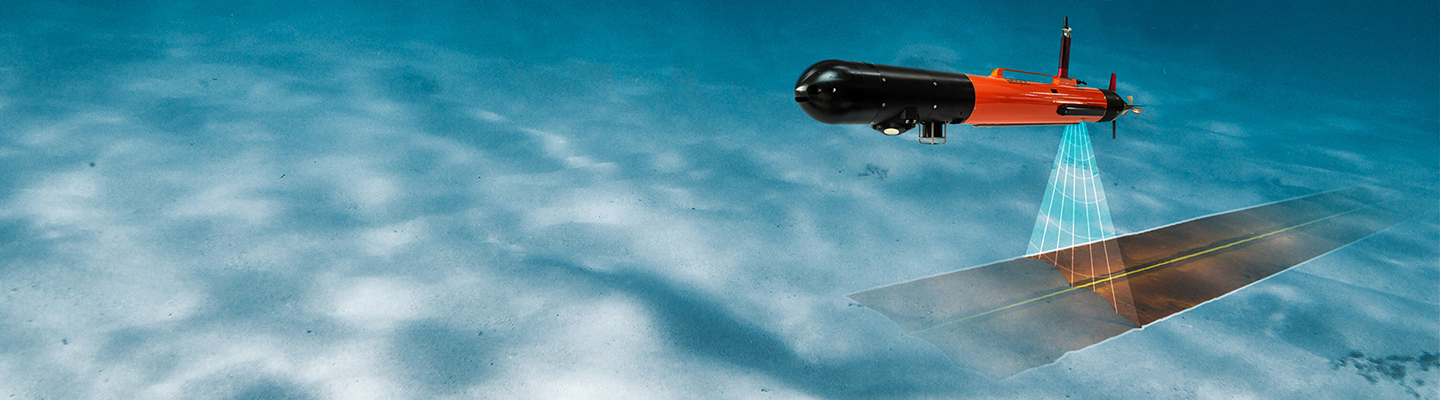
Equipped with a sensor payload suite optimised for seabed surveys.
LAUV-Mapper is available in two different versions: Standard and Expert.
Both versions offer optional sensors and capabilities to fit the user requirements. Nevertheless, if you need a tailored sensor payload suite please check LAUV-Bespoke
APPLICATIONS
- Pipeline Inspection
- Search and Recovery (SAR)
- Mine CounterMeasures (MCM)
- Underwater Archaeology
- Underwater Surveillance
- Bathymetry Surveys
- Habitat Mapping
- Rapid Environmental Assessment (REA)
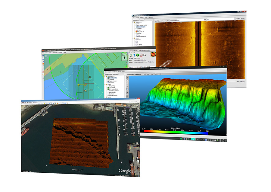
COMMAND & CONTROL
Operator Console customised for LAUV operation.
Single software tool suite combining all operation needs: planning, execution and data analysis.
- User friendly with an intuitive interface;
- Remote operations over GSM and satellite networks;
- Based on the LSTS toolchain w/ active development community;
- Support for S57 cartography and multiple web-based map sources;
- Integrated log analysis tool for plotting, annotating, exporting and data reporting;
- All data can be georeferenced, annotated and exported to standard format;
- Automated mission data reports;
- Tele-operation via smartphone.
Please note that the LAUV specifications may be dependent on the system configuration, such as: endurance, speed, length, weight, etc.. Contact us for further details.